
Why RTLS for Heavy Industry Needs a Different Approach
Real-time location data is a critical foundation for modern industrial operations. It drives automation, enables safety, and creates the visibility teams depend on to make good decisions. But in environments where RTLS for heavy industry matters most, think dense steel structures, thick reinforced concrete, sprawling multi-hectare sites, reliable tracking still breaks down. The physical environment defeats the radio signal before it ever reaches the system.
This article looks at why conventional RTLS technologies hit that ceiling, what Wheere’s approach changes, and why turning location data into operational intelligence requires more than a better antenna.
The physics problem RTLS for heavy industry hasn’t solved
Most industrial RTLS deployments rely on UWB or BLE. Both are mature technologies with real strengths, and both hit the same physical ceiling when the environment gets tough enough.
UWB delivers centimetre-level accuracy and is the go-to for precision applications like AGV navigation or collision avoidance. But it is highly sensitive to non-line-of-sight conditions. Dense concrete and steel scatter the signal, and compensating with more anchors, typically one every 20 metres, makes large-scale deployments cost-prohibitive. BLE is more affordable and easier to deploy, but relies on signal strength to estimate position. In metal-heavy environments, reflections and interference make it unreliable for anything beyond rough zone detection, even with newer AoA-based implementations.
The result is a category of environments that neither technology can adequately serve: underground corridors, multi-storey steel structures, chemical facilities with heavy shielding, sites spanning hundreds of hectares. The need for tracking is clear. The physics makes it impractical.
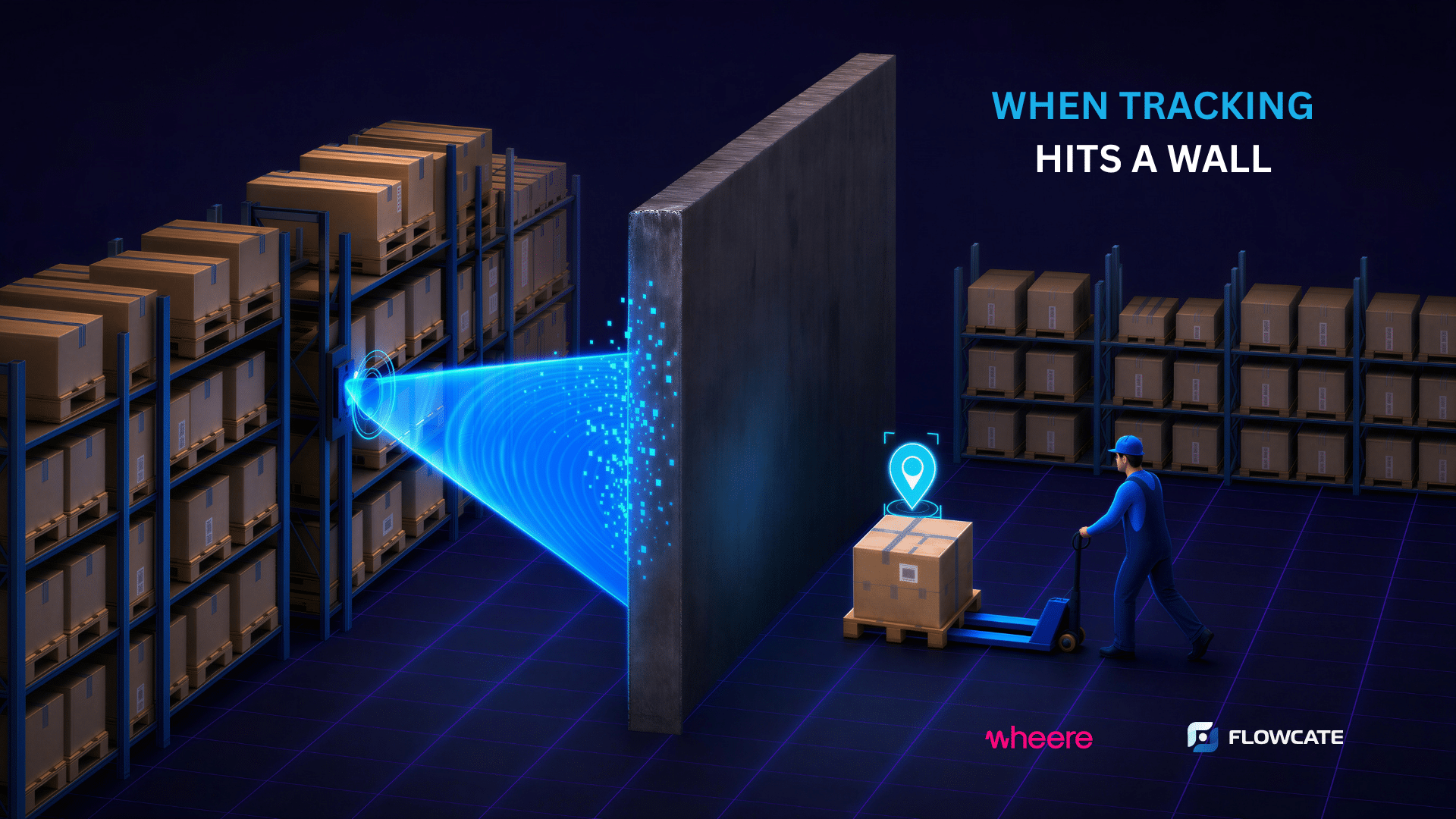
A different starting point: why frequency matters
Our partner Wheere approached the problem from a different angle. Rather than pushing existing technologies further, they built a positioning system around VHF frequencies, the 148 to 174 MHz range used in maritime and aviation communication precisely because of its obstacle penetration characteristics. Low-frequency waves diffract around obstacles rather than being absorbed by them, which is why VHF can carry a signal through up to 50 metres of reinforced concrete and steel.
Four antennas cover a full square kilometre with seamless indoor-outdoor coverage, at a fraction of the infrastructure a comparable UWB deployment would require. Wheere delivers 1-metre XYZ accuracy updated twice per second, well suited for asset visibility, worker safety, and zone-based workflows at scale. The technology has already been validated in pilots across the nuclear energy sector, with further deployments planned at Frankfurt Airport.
Impressive technology. Still not a silver bullet.
Every technology has its constraints, and VHF is no exception. At 1-metre accuracy, it is not the right choice for applications requiring centimetre-level precision, where UWB remains the only realistic option. The frequency bands also require regulatory approval in each country, adding some planning complexity.
No single technology covers every scenario on a real industrial site. UWB where precision is critical. BLE where cost-efficiency matters. GPS for large outdoor areas. VHF where walls and floors would otherwise make tracking impossible. The real challenge is operating all of them as one coherent system and feeding their data into enterprise workflows without rebuilding integrations every time something changes.
From location data to spatial intelligence
Knowing where something is marks the starting point. What industrial operations actually need is what happens next: automatic workflow triggers, safety alerts, utilization analytics, process confirmations. All of it driven by location context, across whatever mix of technologies is doing the positioning underneath.
That is the role Flowcate’s DeepHub plays. It acts as the spatial intelligence layer between positioning hardware and enterprise systems. Location data from any source flows into DeepHub, which normalizes it, applies spatial logic, and generates the events and analytics that operational systems can act on. A zone entry triggers a WMS booking. A dwell time threshold triggers a safety alert. A movement pattern feeds into utilization reporting. All of this happens seamlessly, regardless of which positioning technology is doing the work underneath.
That is what this partnership is really about. Wheere’s technology becomes interoperable with the broader location stack, and customers finally get seamless asset tracking across environments that were never covered before, with one unified view of everything that moves across their entire operation.

Want to explore what this could look like on your site?
Get in touch to learn more about this solution and how it could automate your processes.